Christmas is a time to spend with family for most people. However, with our family in the US and having made a trip back earlier in the year, we decided to go to New Zealand over the Christmas and New Year period to do some hiking (or tramping as they call it in NZ). We did the Kepler Track, one of the great walks in NZ, and the Hump Ridge Track. Because we only had 10 days in NZ and the tracks were a set number of days, we did 7 days in a row of trekking, and we also managed to make it to Doubtful Sound. We picked these tracks based on a trip we made 4 years earlier for Scott's 40th birthday. Back then, we completed the Milford and Routeburn Tracks with our Australian family, Peter and Laura . We knew from this trip we were in for some great trekking.
We arrived via plane in Queenstown and drove to Te Anau where the Kepler Track begins. We had one day in Te Anau to do our shopping for all the food for our trek. We had to carry all 4 days meals with us in our backpacks. The huts we stayed in have a bunk and a kitchen area with cooking grills, so we also carried in our sleeping bags and cookery.
Kepler is a circular track, so we parked our car in the lot by the start of the 60km 4day/3night track.
Day 1 (Christmas Day) consisted of a steady hike along lake Te Anau for 5.6 km starting at about 8:30am.
 |
| Lake Te Anau |
 |
| One of many types of ferns in NZ |
 |
| Beech Forest |
This is a nice gentle walk to get started as we walked through the Beech Forest and had great views of the lake with the some mountains in the the background. We are also on the lookout for wildlife, but don't spot much as we walk through this awesome area.
 |
| A view of Lake Te Anau before we start climbing |
After the 5.6km fairly flat hike we start uphill for the next 8.2km to Luxmore Hut which is close to the peak of Luxmore mountain.
 |
| A view of the lake on the way up to Luxmore Hut |
 |
| Look at all the ferns |
 |
| Penny, Larissa, and Andy hiking up the trail |
Although we started in the bush, as we climbed higher we made it above bushline with some superb views of the limestone mountains and panoramic views of the lake, Te Anau valley, and surrounding mountains. These trails are very well maintained as a gravel or rocky path with some stairs and plenty of switchbacks along the way, so it wasn't too steep as we climbed up toward the hut. As we came out of the bushline the views were quite amazing.
 |
| Surrounding mountains and brown grass |
 |
| So many mountains |
 |
| Lake Te Anau |
Once we made it to the hut we picked out our bunks for the night had a brief rest and took in the views before doing a side trip to the Luxmore Caves. We actually didn't go too far back in the caves as we would have had to crawl past some low rocks to go further and felt we had seen enough with the distance we did go.
 |
| Entering the cave |
 |
| Good lighting down here |
After our caving experience we were ready for our Christmas dinner of freeze dried roast chicken and apple pie for dessert. YUMMY! Best Christmas dinner ever...said no one ever.
 |
| Freeze dried dinner and dessert |
On Christmas night we got rewarded by having a full moon to help light things up, but it didn't matter much to us as the sun doesn't set until around 9:45pm and we were ready for bed. Apparently the moon was bright enough for some of our fellow hikers to hike up to the top of Mt. Luxmore without the use of lights this evening (which is where we were headed tomorrow).
 |
| Full Moon at 9:15pm |
Day 2 was a 14.6km hike going to the top of Mt. Luxmore for more awesome views before we walked along the ridge. Then came a huge downhill part, which was a bit steep at points and had plenty of steps as we descended down to Iris Burn Hut.
The climb to the top was a 30 minute side trip well worth the effort on a less groomed trail, but easily ascended.
The ridge track was well done and with the blue sky on a sunny day we got to enjoy the views all the way to the downhill when we entered the bushline again. Just seeing all these peaks, some with snow on them from a couple weeks previous, some with the tan/brown grass, and the lake on one side made for an absolutely lovely, memorable day out in nature.
 |
| Start of the ridge line |
 |
| Mountains and lake |
 |
| Scott up ahead |
 |
| The lake keeps going |
 |
| Penny loved this lake view |
As we started our descent we met some people who had done the track several times and gave us a tip about the best bunks (behind the second group where they were three bed on each side, but normally most people don't see them so you can get them for yourself!!). It was a great tip as we ended up with those bunks, but had to get down the hill first as we had just completed the huge group of stairs. We were told by the Luxmore ranger that we needed to get to stote trap number 24 before we would come upon the Iris Burn Hut. Stotes are a rodent introduced to NZ and are killing many of the native birds, so there is a trapping program in place to try to diminish the stote population. I don't remember what trap we saw on the way down the hill to start with (somewhere around #9 I think), but after the downhill we were ready for number 24 to appear.
 |
| the forest reappears |
 |
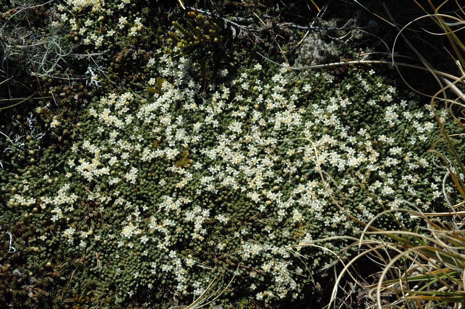
| flowering moss |
 |
| Small waterfall |
 |
| Stote trap 24 sign, a relief to see |
 |
| Stote trap |
Iris Burn Hut has a waterfall a 20 min walk back towards the trail we can in on, so Penny and I walked back there after a rest. It was a short visit as the sandflies were vicious and the water a bit cold to stay in for any length of time. After the side trip, the night was spent playing cards and reading before getting some sleep. Scott loaned our cards out (and joined them for a game or two) with a family in the hut going the opposite direction on the track in exchange for some wine for Penny! We got a visit from the Kea (a dark green, large, alpine parrot native to NZ) and were told by the Ranger how noisy and damaging they can be at our hut briefing.
Another thing expressed in this hut by the ranger was there are always complaints about snoring and everyone would have to deal with it in their own way (ear plugs or moving themselves) as it was not the snorers fault. In the previous hut we were told we could ask a bad snorer to move into the kitchen area to sleep if they were really bad (we asked a gentleman to leave at Luxmore Hut - he was so loud).
The Kea is a pretty bird, with a sharp, powerful beak that will chew rubber off the bottom of your boot or tear your tent up for fun. We got told to hang our boots up or bring them inside for the evening or we might find them in pieces the next morning. Normally the Kea are up higher towards Mt. Luxmore, but this group has made it's way to Iris Burn. Thankfully no one had their boots ruined, more than I can say for some of the campers in their tents.
Moturau Hut is right next to Lake Te Anau, so we were able to get in the water and not be attacked by too many sandflies after the days hike. It was nice to get in the cold water and use it to clean my clothes as well as get refreshed. It was a gorgeous sunny day with plenty of time to enjoy the water, reading, lying outside (due to very few sandflies). A nice revitalising stop on this trip. Some more cards, reading, and just relaxing on the grass or beach.
 |
| Lake view from Hut |
 |
| Watching the Sunset |
Day 4 was a 6km or 15.5km hike back to the parking lot. Penny and Andy chose to take the shorter 6km hike due to sore feet and the knowledge that we had another 60km 3 day hike starting the next day. Larissa and Scott were able to take the long course today as they weren't feeling as sore. The track goes by some wetland then follows the Waiau River where a swing bridge takes you across to Rainbow Reach at the 6km mark. The track continues along the river back to the control gates and the car park. This is a relatively flat course and Scott and La ran bits of this path as they made their way to the car park.
 |
| Waiau River |
 |
| Swing Bridge |
 |
| Skinny trees |
 |
| Beech trees |
Andy and Penny got back to the hotel via bus just before Scott and La. Unfortunately, it was before the room was ready for check-in, so they got the spa key. Penny was in the hot tub off the girls change room and Andy was showering so he would be ready for his planned massage. There is only one key, so Scott was banging on the door trying to get their attention. Thankfully Andy came out before security was called because Scott was so banging hard on the door.
We had the afternoon and evening to relax before we had to get up and drive 1.5hrs to the start of the Hump Ridge track in Tuatapere.
Day 1 was a 20km trip with the first 6km being mostly flat with 4km being along the Bluecliffs beach. We were treated to some spectacular images in the sand as we started across the beach. This trip we didn't need to carry any cooking gear, just our food and sleeping bags. Well, we could have even bought our food at the huts instead of carry it in as well. We saw a few people with much smaller packs on this trip due to the different offerings at the hut compared to Kepler or any of the other tracks Penny and Scott have done in NZ.
 |
| 4km across the sand |
 |
| Sand trees made from water running down beach to the ocean. |
 |
| Smooth rocks along the beach |
When we got back into the bush from the beach we began a slow climb, which unfortunately was mostly on boardwalk. Thankfully the forest was very nice even on a cloudy day as we climbed closer to the top. We had a nice lunch break and rest before the climb ahead.
 |
| More ferns |
 |
| Lunch mate looking for food scraps |
 |
| More boardwalk, ugh |
 |
| Penny, La, and Andy at lunch stop |
The final 5km climb was mostly on a trail, which compared to other tracks in NZ was not the well maintained gravel, rocky or well groomed trail we were used to. This track was over tree roots and virtually straight up the hill with very few switchbacks. We quite liked this style of trail as it felt a bit more outdoors and rugged.
 |
| Something magical about a clouded in forest |
 |
| Much needed stop on the tough climb up |
 |
| After the big climbs this boardwalk wasn't as disgusting |
Sadly, as we reached the top the clouds had taken over the sky. Our first overcast day since being in NZ, which meant we couldn't take in the views at the top of the nearby Fiordland, forest, and Southern Ocean. The Hut was very nice with a fire place going and the four of us had our own room as there were only a handful of people on this track.
Day 2 to Port Craig was a 20km decent which started with the clouds still out and a chance of rain. The rain held off for most of the day, but we still didn't get to see the views from the top. On this down, up, down, up start of the downhill along the Hump Ridge we were out in the windy open for the coldest day of all our hiking. We made it into a mix of beech and podocarp forest getting out of the wind. We finally got out of the clouds long enough for some views.
 |
| Oh, that's what it looks like. Still cloudy |
 |
| Over here is a better view |
As we made it down to the flat part, we stopped for a lunch break. From here we had to follow the old railway to the sawmill in Port Craig and cross the viaducts. As we started off across the first viaduct it started raining, so we walked in the rain along the railway trying not to step on the rail nails still in the ground after the rail was removed. Eventually the rain stopped and we had a clear day on our final approach to Port Craig. The second viaduct was closed for use, so we had to descend into the valley and climb out, but the rest of the way was mostly flat, so not too bad after the earlier descending and climbing along the ridge.
 |
| Viaduct 1 |
 |
| Side view |
 |
| Old Railway |
 |
| Biggest viaduct (closed) |
At Port Craig there was a bunch of artifacts of the old Port town which made this hut a little special. There was of course the beach where the port used to carry out all it's timber cut at the sawmill. A small pod of dolphins stay in the bay, but we only saw the dorsal fin a couple times before we gave up due to the sandflies.
 |
| Helipad |
 |
| Artefacts for Old Port Craig |
 |
| Nice cabins |
 |
| Old dock |
 |
| Cart for moving logs |
We got to see some more of the wildlife in the area as well.
 |
| A blue bird |
 |
| Fantail |
Penny and I had our own room next to Andy and La as there were only 2 other couples staying the night at this hut. There was a jigsaw puzzle which was started by other hikers, which some of us worked on for a while. The puzzle was called WASGIJ? where there is a photo with a person looking backwards and you have to put the puzzle together without the actual photo coming up with what that person is looking at. The box give you a couple of clues, but mostly it is just putting the pieces together.
Day 3 was a undulating 20km hike through the bush, by blowholes (which we didn't get to see as the tide was low), following the coast back to the back to the car park along the 4km of beach and the final 2km out. Despite wanting to complete the hike, Penny had to take a helicopter back to the car park as her knee was too painful to take on the final day just from over use. On the bright side, she got to take her first helicopter ride. While Andy, La, and Scott took off along the path, Penny stayed behind to finish the puzzle as the helicopter wasn't supposed to arrive until 10am.
 |
| Puzzle |
 |
| Completed...now what? |
With a 2 hour lead the three made it to a beach out of the bush as the helicopter went over where the pilots were able to see us as we waved, but were not spotted by Penny. The first two hours through the bush were not flat, but weren't massive climbs or descents either.
 |
| Looks like moss, but it's a fern. |
 |
| blowhole beach, where's the chopper? |
 |
| Here's Penny's lift |
 |
| Nice view from a helicopter |
 |
| Nice view from a helicopter |
 |
| At the car park after 7 minutes of flying |
The three of us took off after the chopper went by, and went across a couple more little beaches before heading back into the bush. We were winding our way along the coast sometimes close to water and other times unable to hear the waves crashing. Crossing a couple more swing bridges and passing the spot where we turned up towards the top on Day 1.
 |
| Andy crosses a bridge |
 |
| La makes her way across a bridge |
Once we got to the beach we knew we had 6km to go to the finish with four of them being along the sand. We had a short break talking with a local who was on his motorcycle on the sand. Jokingly La asked for a lift, but decided it wasn't a good idea after he drove off and saw his back (completely covered in sand). We crossed a bridge after the beach for the last 2km which La and Scott didn't remember from the first day. They were sure glad Andy remembered.
That last bit of the walk seemed to take forever and had a large set of stairs to climb before the end, then we seemed to just curve back and forth towards the car park. When we finally arrived Penny was waiting for us desperate to have something to do as it took us another three hours to arrive after her helicopter ride.
 |
| Penny spots us as we walk off the trail towards the car park |
The one downer of doing hikes in NZ is the sandflies. If you forget to put on some heavy duty spray or oils that minimize your chances of getting bitten, you will be sorry. Take a look at some of these bites. They swell up, can become and ulcer, and itch.
 |
| La's elbow bites |
 |
| Andy's foot bites |
 |
| Penny's bruised and ulcers leg bites |
 |
| Penny's leg bites |
 |
| La's ankle bites |
 |
| Scott's leg bites |
Over all, the tracks were different, but both great and nice to have the variety. But we weren't done -- we still had a day in NZ free before our flight home. So on New Years Day we took a trip to Doubtful Sound. Getting there from Te Anau had a bus ride to Manapouri Lake, a boat ride across Manapouri Lake to the power station where we would have another bus ride over Wilmont Pass to the cruise boat. The scenery was very nice, so the different transports to get to Doubtful Sound were well worth it to get the great views of the soaring peaks and massive amount of water going out to the sea.
Even though it has sound in the name it is actually a fiord. The difference is a sound is created by a river or the sea flooding a river. A fiord is created by icebergs. Doubtful Sound is 3 times bigger than Milford sound, which seems amazing as Milford seemed huge both times we were there, so it was time to see this massive place. The photos don't do justice to the size of this place, so I will just give you the photos as there isn't much more to explain.
 |
| Photo of Penny taking a photo of La and Andy |
 |
| Penny gets to drive the boat! |
 |
| The cloud is moving quickly |
 |
| Largest arm of the fiord |
 |
| A bird soars, but not very high up in comparision |
 |
| Cloud buzzing by the mountian |
 |
| Doubtful Sound |
 |
| Out by the sea |
 |
| View from Wilmont Pass |
 |
| The one seal we saw on the trip |
 |
| Doubtful Sound |
 |
| Doubtful Sound |
 |
| Doubtful Sound |
 |
| Scott, Penny, La, Andy on the front deck |
 |
| Andy and La..Smile |
 |
| Penny, La, and Andy on the Go Orange cruise |
 |
| Hi Penny |
 |
| Doubtful Sound |
 |
| Waterfall on Doubtful Sound |
 |
| Look at that waterfall, that's a long way up |
 |
| Doubtful Sound |
 |
| Doubtful Sound |
 |
| Doubtful Sound |
 |
| Cruise on Manapouri Lake |


No comments:
Post a Comment